Code: B14184
Dimensions:
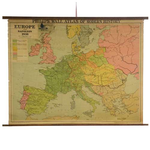
Vintage school map
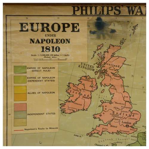
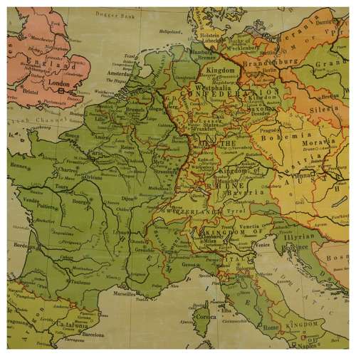
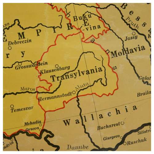
Philips Wall Atlas of Modern History, Europe Under Napoleon 1810, showing countries under Napoleon's rule, his allies and independent nations
mounted on canvas with oak poles
published by George Philip & Son, 1953
Condition: good bright colours to the countries, the edges are slightly frayed, ink stain to the sea north of Scotland.
93cm H, 122cm W (the poles).